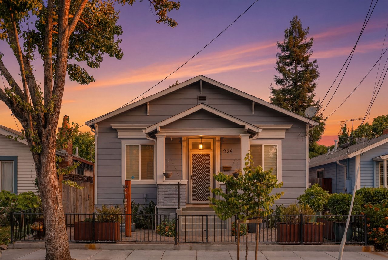
Thinking about buying or selling a coastal home in Santa Cruz? Between oceanfront bluffs, forested hills, and active faults, you face a unique set of disclosures that can affect insurance, lending, timelines, and price. You want a smooth transaction with fewer surprises and stronger buyer confidence. This guide shows you the coastal, wildfire, and earthquake disclosures that matter most in Santa Cruz, the maps to check, and the documents to assemble so you can move forward with clarity. Let’s dive in.
What California requires you to disclose
California requires most home sellers to provide a Transfer Disclosure Statement and a Natural Hazard Disclosure. The TDS covers the property’s condition and known material facts. The NHD summarizes whether the home sits in mapped hazard zones like flood, fire, fault, or seismic hazard areas. You can review the statutes on the California Legislative Information site if you want the official language.
In practice, your title or escrow provider can produce a formal NHD report early in your listing. It pulls from state and federal maps so every buyer sees the same baseline facts. Local permit records, recorded notices, and any specialized studies are also material and should be shared.
Failing to disclose can lead to costly disputes. Delivering a clear, complete packet up front helps you avoid mid-escrow renegotiation and protects your outcome.
Coastal hazards in Santa Cruz
Santa Cruz mixes beaches, harbor frontage, and bluff-top neighborhoods. Low-lying areas near the San Lorenzo River and the harbor can face storm surge and tidal flooding. Bluff edges can experience erosion and retreat over time. While NHD reports capture flood and seismic hazard maps, you should also disclose property-specific coastal details like prior bluff stabilization, permits, or recorded maintenance obligations.
Use these trusted resources to check exposure:
- The FEMA Map Service Center for official flood zones and insurance requirements.
- The City of Santa Cruz Planning pages for coastal hazards and sea-level-rise planning. Start with the Planning and Community Development department.
- The County of Santa Cruz Planning Department for countywide coastal studies and permit records.
- The California Coastal Commission for statewide sea-level-rise and bluff guidance and permit policies.
- tsunami.gov for tsunami information and alerts.
Coastal documents sellers should assemble
- Recent Natural Hazard Disclosure report.
- A FEMA FIRM printout for the parcel and any elevation certificate.
- Coastal Development Permits, shoreline protection permits, and recorded notices.
- Geotechnical reports or bluff-stability studies and permits for any erosion or remediation work.
- Insurance declarations for flood or coastal storm coverage, if available.
- HOA covenants or recorded obligations related to bluff setbacks or shoreline maintenance.
Common coastal questions buyers ask
- Is the property in a FEMA Special Flood Hazard Area that requires flood insurance?
- Are there recorded bluff setback or shoreline-protection restrictions?
- What do local sea-level-rise scenarios suggest for the next 30 years?
Providing clear map printouts and permit history up front reduces doubt and supports stronger offers.
Wildfire risk and defensible space
Many Santa Cruz homes sit in or near the wildland–urban interface. CAL FIRE maps classify some areas as High or Very High Fire Hazard Severity Zones. If your property falls in these mapped zones, buyers and insurers will ask about defensible space and home hardening.
California Public Resources Code § 4291 requires maintaining defensible space around structures. For practical guidance, review CAL FIRE’s Ready for Wildfire resources. To understand mapped fire risk for a parcel, consult the official Fire Hazard Severity Zone pages.
Insurers may adjust premiums, require mitigation, or limit coverage in higher-risk areas. For consumer updates and options, see the California Department of Insurance’s consumer resources.
Wildfire documents sellers should provide
- A defensible-space inspection or compliance letter, if available.
- Receipts for recent fuel reduction or brush clearance.
- A map printout confirming FHSZ status for the parcel.
- Home-hardening notes for roofs, vents, gutters, siding, and decks.
- Any past abatement notices and proof of clearance or compliance.
Earthquake and geologic hazards
Santa Cruz sits near the San Andreas system, so earthquake planning is part of normal due diligence. California’s Alquist-Priolo Earthquake Fault Zones identify areas where surface fault rupture is a concern. Separate Seismic Hazard Zones flag potential liquefaction or earthquake-induced landslides. These designations appear in a standard NHD.
You can confirm mapping on the California Geological Survey sites for the Alquist-Priolo program and Seismic Hazard Zones. If previous owners completed geotechnical or soils studies, share them. If stabilization, foundation, or slope work was permitted, include those records as well.
Earthquake insurance is a separate policy or endorsement. Buyers should ask their insurer about availability and coverage limits for the specific location and structure.
Seller checklist to reduce renegotiation
- Complete your Transfer Disclosure Statement and order the NHD before listing.
- Pull permit history and recorded documents from the City or County.
- Provide FEMA flood-zone and CAL FIRE FHSZ map printouts.
- Gather geotechnical/soils reports, foundation or stabilization permits, and any coastal permits.
- Document defensible space work and any inspection results.
- Include insurance declarations for homeowners, flood, and earthquake, if available.
- Disclose recorded notices, easements, or maintenance obligations tied to bluffs, shoreline, or slopes.
Smart buyer steps in Santa Cruz
- Review the NHD and confirm FEMA flood status on the FEMA Map Service Center.
- Check fire hazard zones and defensible-space needs using CAL FIRE resources.
- Confirm fault and seismic hazard zones on the California Geological Survey sites.
- Look up local permits and recorded notices with the City and County planning departments.
- Ask your insurer for an insurance-availability check early in escrow for wildfire, flood, and earthquake coverage.
Final thoughts and next steps
Clear, complete disclosures help you sell with confidence and help buyers commit with fewer contingencies. In Santa Cruz, the big three are coastal exposure, wildfire risk, and seismic hazards. When you assemble the right maps, permits, and reports before you go to market, you protect your timeline and your price.
If you want a tailored strategy and a disclosure packet that builds buyer trust, reach out to soldbydouglas for a consult. You will get a practical plan to prepare, present, and negotiate your sale with clarity.
FAQs
What is the difference between the TDS and NHD in California?
- The TDS covers the property’s condition and known facts, while the NHD focuses on whether the parcel lies in mapped natural hazard zones like flood, fire, fault, or seismic hazard areas.
How do I check if a Santa Cruz home needs flood insurance?
- Search the property on the FEMA Map Service Center to see if it is in a Special Flood Hazard Area, then confirm insurance requirements with your lender and insurer.
Where can I confirm wildfire risk and defensible-space rules?
- Review the parcel’s Fire Hazard Severity Zone status on CAL FIRE’s official pages and read the Ready for Wildfire defensible-space guidance, then contact the local fire authority for inspections.
How do I find if a property is in an earthquake fault or seismic hazard zone?
- Use the California Geological Survey maps for Alquist-Priolo Fault Zones and Seismic Hazard Zones, and confirm any local requirements with City or County planning.
Which local offices hold coastal permits or recorded hazard notices?
- Check the City of Santa Cruz Planning and Community Development and the County of Santa Cruz Planning Department for permit history, and verify recorded documents through your title company.